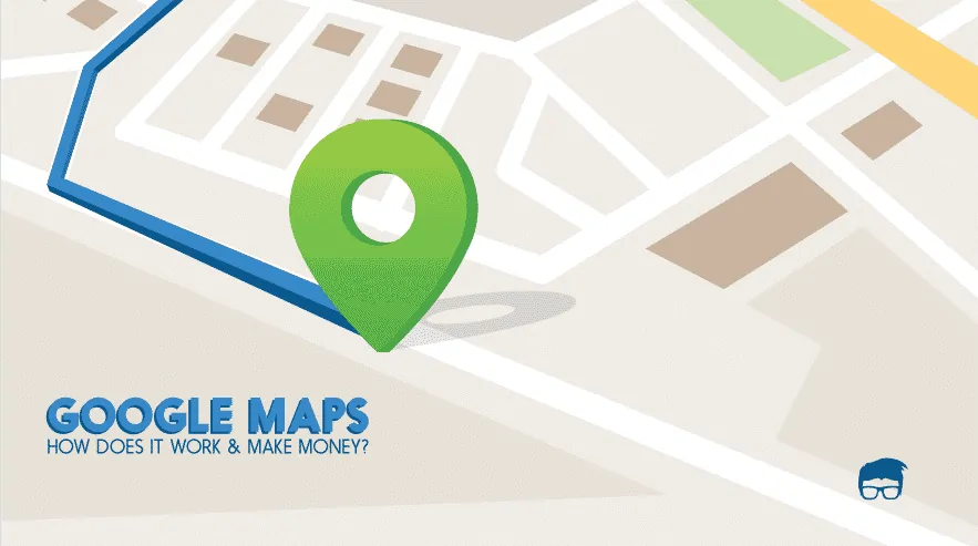
Need to plan a city project? Showing pollution hotspots? Maps are vital. But for many, creating them feels like rocket science. Current mapping tools? Complex. Expensive. Made for specialists.
Urban planners, environmentalists, and journalists often wrestle with systems demanding expert skills.
But what if making powerful maps was straightforward? What if you could visualise data without needing a GIS degree? Atlas.co saw this gap.
They’ve built a web platform to make map creation simple for everyone. Yes, everyone. Even if you think “spatial data” sounds like alien speak. We sat down with Fredrik from Atlas.co to learn how they’re making maps easy.
What is Atlas.co?
Atlas.co transforms the task of creating spatial apps and interactive maps into an accessible experience. Geared towards urban planners, environmental analysts, and even GIS experts, this web-based platform is designed for ease. Traditional Geographic Information System tools? They can be a maze. Atlas.co, however, offers simplicity. You don’t need a specialised skill set to turn data into engaging visuals.
The platform simplifies map-making and spatial visualisation, offering an intuitive approach to displaying intricate data. And it’s available for you without the hefty price tag.
What sets Atlas.co apart is its user-friendly cloud-based design. Unlike many GIS platforms, this one offers a freemium model. Everyone, from data journalists to renewable energy developers, can collaborate and create impactful applications. No extensive training or professional expertise is required. This makes designing spatial apps less about expertise and more about creativity.
In the crowded $3 billion GIS industry, Atlas.co stands out by breaking barriers. Bridging the gap between specialised knowledge and user accessibility empowers users to create detailed and informative maps effortlessly. It’s about harnessing data without the complexities usually associated with spatial tools.
Atlas.co Founders
Fredrik Moger, the CEO and co-founder of Atlas.co, brings a vision to transform how spatial data is accessed and used. Coming from a background rich in experience within data-driven industries, Fredrik saw a pattern: existing GIS tools were simply too complex for everyday users. It wasn’t just about maps; it was about making data intuitive and useful for everyone, not just experts.
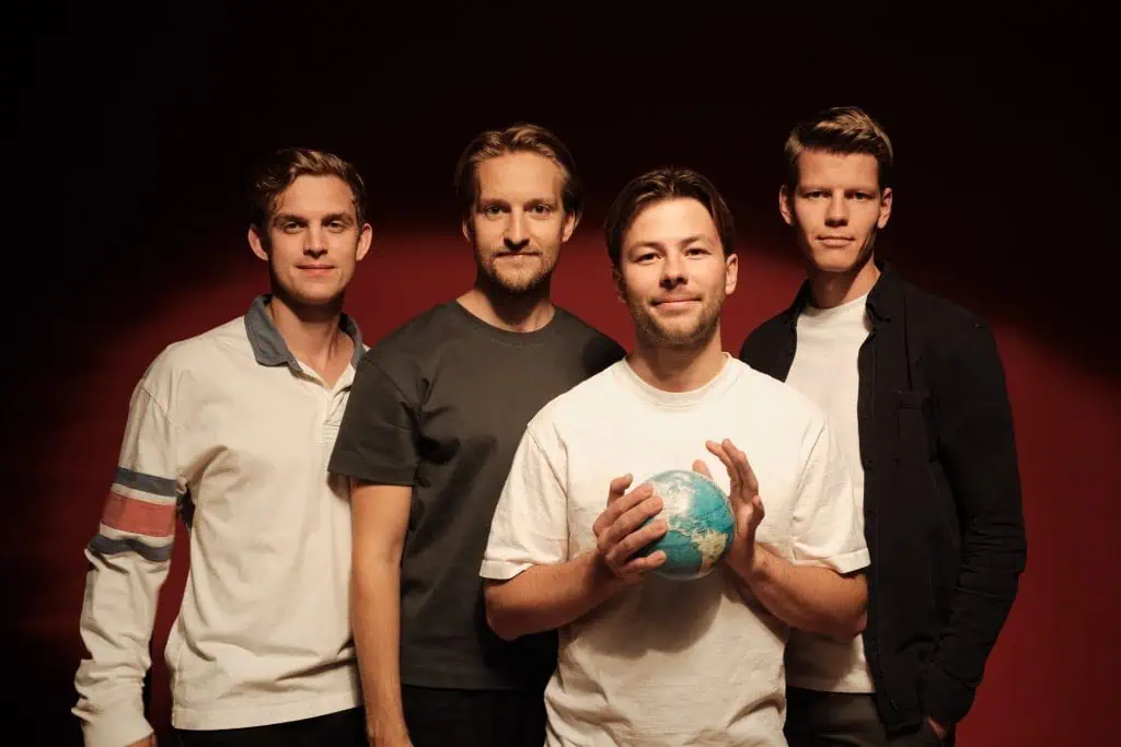
He isn’t alone in this quest. Alongside Fredrik, there’s Harald, who helms the technology aspect; Vegard, who steers product and marketing; and Marius, focused on customer success. The team’s combined expertise shapes the platform to meet diverse user needs. Each founder brings a unique slice of insight, allowing Atlas.co to craft a product that defies the notion of complexity traditionally tied to GIS.
The story of Atlas.co begins with frustration. Fredrik and his team recognised a limitation in the market: mapping tools were seen as elite, reserved for those with specialist training. But what about the urban planner trying to visualise city data on a budget? Or the journalist looking to uncover environmental truths without a degree in geography? Atlas.co emerged not as a competitor in the GIS space but as a disruptor, aiming to democratise map-making.
The inspiration wasn’t born from market size but from necessity. Fredrik and his team focused on inclusivity by paying attention to users who felt left out by the industry giants. This isn’t about fancy tech; it’s about removing barriers. The vision was clear from the start—create a cloud-based, freemium model platform for all. This mission resonated with others, turning initial ideas into a viable startup that caught the interest of investors with a $2 million pre-seed round.
Fredrik’s story underscores the power of identifying and addressing a common problem head-on with simplicity and accessibility. It’s not just about being different; it’s about being relevant in an industry that often overlooks the need for user-friendly design.
Interview with Fredrik Moger, CEO & Co-founder of Atlas.co
We managed to get some time with Fredrik Moger, Atlas.co’s founder, to understand more about the platform and the story behind it. He walked us through their mission, the challenges they are tackling, and what the future holds for Atlas.co. Here’s how our conversation went.
Q: Can you start by telling us a bit about yourself and Atlas.co?
A: I’m Fredrik Moger, CEO and co-founder of Atlas.co. We empower individuals and organisations to create spatial apps and interactive maps.
Q: Who is Atlas.co for? Who are you trying to help?
A: We built Atlas.co for a broad range of users. We are useful for GIS experts who want a simpler tool, but also for urban planners, environmental analysts, renewable energy developers, and data journalists. Anyone who needs to visualise spatial data, really.
Q: What problem are you solving for these people?
A: Traditional GIS tools are often a barrier. They are complex, expensive, and need specialist skills. This limits who can use maps effectively. We solve this by offering a web-based platform that is user-friendly and simplifies map creation and spatial data visualisation.
Q: What was the inspiration behind Atlas.co? What made you start this company?
A: The inspiration came from our own frustration. We found existing GIS tools overly complex and inaccessible. We believed there was a better way to make spatial data accessible to everyone, regardless of their technical background. We wanted to simplify mapping for everyone.
Q: Could you tell us about the team behind Atlas.co?
A: Absolutely. It’s myself as CEO, Harald heads up the tech side, Vegard leads product and marketing, and Marius is in charge of customer success. We are a close-knit team with a shared vision.
Q: How does Atlas.co differ from other companies in the GIS space? What makes you stand out?
A: We differentiate ourselves through accessibility and ease of use. Atlas.co is an intuitive, cloud-based platform with a freemium model. This approach makes powerful GIS tools accessible to a much wider audience. It’s about collaboration and empowering anyone to build and share spatial applications without needing deep expertise.
Q: Has Atlas.co received any funding?
A: Yes, we have. We recently closed a $2 million pre-seed funding round.
Q: What’s next for Atlas.co? What are your plans for the future?
A: Our focus is on expanding the platform. We are working on adding more advanced mapping tools, enhancing collaboration features, and creating integrations for different industries. We plan to scale Atlas.co globally and continue to innovate in the GIS space. Building a strong community of users who can use spatial data to make better decisions is also key for us.
Q: Finally, are there any industry statistics that highlight the opportunity Atlas.co is addressing?
A: The GIS industry is substantial, around $3 billion, and dominated by companies like Esri. This shows the size of the market and the potential for disruption by making these tools more accessible.
Feedough’s Take on Atlas.co
Atlas.co is clearly tapping into a real need. The market for GIS tools is large, but it has been dominated by systems that are frankly, overkill for many users. What Atlas.co is doing – making mapping accessible to non-experts – is smart disruption. They are not trying to compete head-on with the established giants. Instead, they’re creating a new category: user-friendly spatial data tools for everyone. This approach has legs.
Looking ahead, Atlas.co has the potential to become the go-to platform for anyone needing to visualise spatial data without a PhD in GIS. The challenge? Keeping that simplicity as they grow. As they add features and cater to more complex needs, they must not lose sight of what makes them different: ease of use. If they can maintain this focus, expect Atlas.co to significantly change how businesses and individuals interact with maps and spatial data in the coming years. They are well positioned to lead this shift towards democratising mapping.
A startup consultant, digital marketer, traveller, and philomath. Aashish has worked with over 20 startups and successfully helped them ideate, raise money, and succeed. When not working, he can be found hiking, camping, and stargazing.
